
Churches of Lalibela — Biete Ghiorgis
Eleven churches carved from a single block of rock, with no masonry added. At Lalibela, construction does not add up — it subtracts. Biete Ghiorgis, the most perfect, descends into a trench 25 m to a side: a three-dimensional Greek cross cut into the tuff, with its gutters, its light shafts and its drainage channels, still in use 800 years later.
- Location
- Ethiopia · Africa
- Civilisation
- Zagwe Dynasty (King Lalibela, ~1181–1221)
- Period
- ~12th–13th c. AD (multiple phases)
- Technique
- Basaltic volcanic tuff, monolithic top-down excavation, drainage carved directly into the rock
- Studies
- ~60 publications (archaeology, conservation, photogrammetry)
the state of research converges — open to revision. A revisable snapshot of the state of research, never a judgement.
→ Show on the mapThe elements of the site
Where the site is
12.032° N, 39.045° E · satellite view
What science says
Fauvelle-Aymar et al. (Antiquity, 2010, DOI 10.1017/S0003598X00067132) documented, through the stratigraphy of spoil heaps, the multi-phase construction sequence. The spoil heaps reveal several distinct campaigns, not a single building project. Dating: 12th–early 13th century CE, reign of King Lalibela (Zagwe), confirmed by Ethiopian historiography and the dendrochronology of later timber roofing.
4 of the 11 churches are strictly monolithic (separated from the surrounding rock on all sides); the others are semi-detached (backed against the rock face) or cave churches. Biete Ghiorgis: ~12 × 12 m footprint, ~13 m high, trench ~25 × 25 m, estimated volume removed ~3,800 m³ (Buehrer et al., CIPA 2001). Phillipson (Ancient Churches of Ethiopia, Yale UP, 2009, ISBN 9780300141566).
The drainage system is documented academically by Fauvelle-Aymar et al. (2010): channels and collectors cut into the rock are an integral part of the building process, draining water from the trenches during excavation and in permanent use. Persistent water problems at Bete Amanuel and Bete Giyorgis are documented (Taye B., Viles H. & Orr S.A., International Journal of Architectural Heritage, 2022, DOI 10.1080/15583058.2022.2142699).
3D digitization: Zamani Initiative program (University of the Eastern Cape) + Rüther & Palumbo (Int. Journal of Heritage in the Digital Era, 2012, DOI 10.1260/2047-4970.1.2.217). Photogrammetry: Buehrer et al. (CIPA 2001, ISPRS).
UNESCO inscription no. 18 (1978), part of the first group of World Heritage sites. Criteria i, ii, iii.
What remains unexplained
Related to
Studies & sources
Keep exploring
 Debated
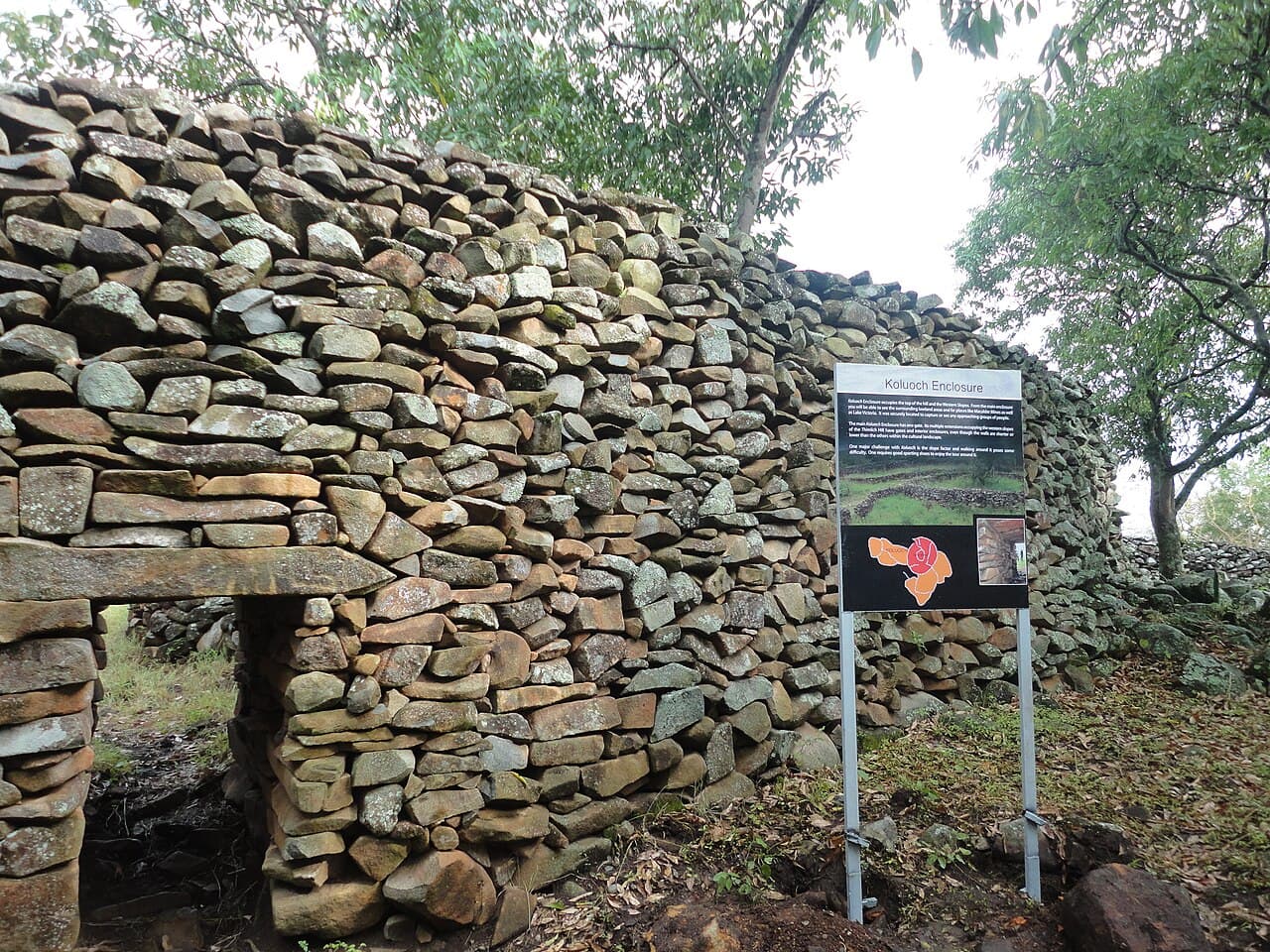
Thimlich Ohinga
Double-faced dry-stone enclosures, without mortar, near Lake Victoria. Built between the 15th and 16th centuries by Bantu communities and later the Luo. Who started them, who continued them?
 Debated
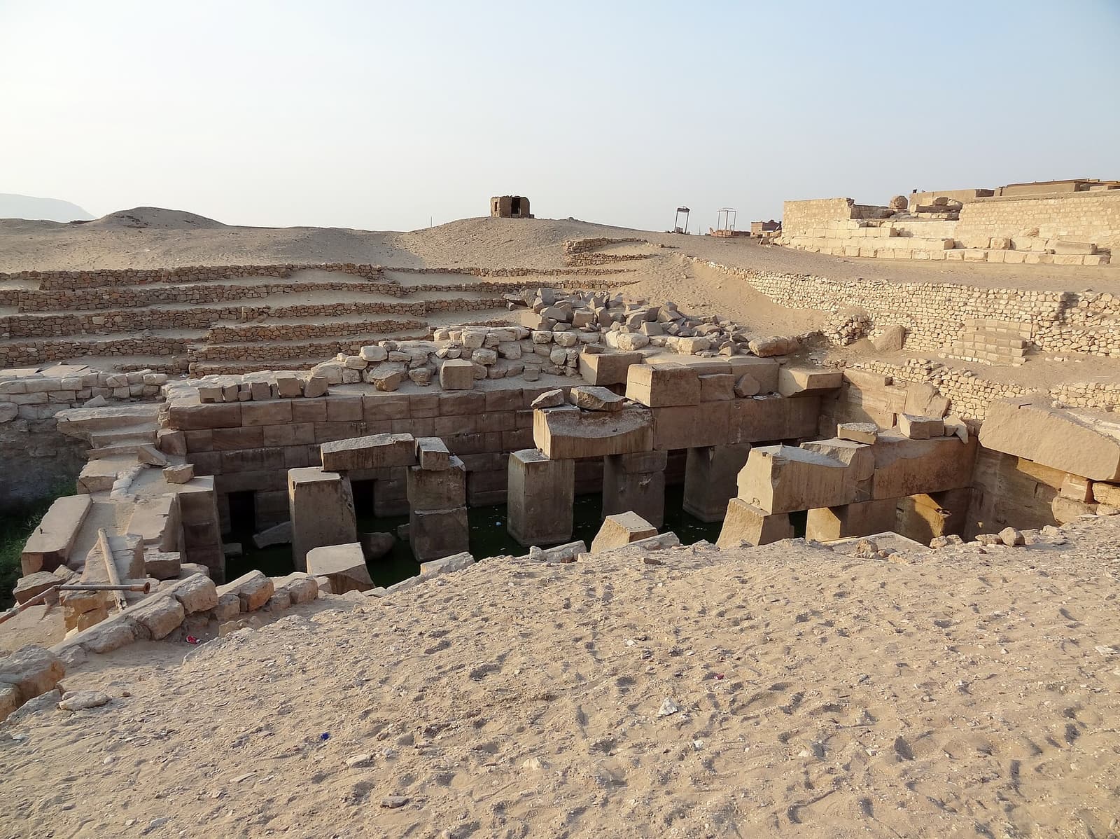
Osireion of Abydos
A massive granite structure buried 13 meters under the sand, flooded by the water table for centuries. Built by Seti I as a cenotaph of Osiris — the theory of an older site, advanced by Naville in 1914, has since been refuted but is still sometimes cited.
 Debated
Stelae of Tiya
Thirty-six stelae carved with swords, planted on warriors' graves in the Ethiopian highlands. Dated between the 10th and 15th centuries — but no one knows who erected them, or what their symbols mean.