Yonaguni Monument
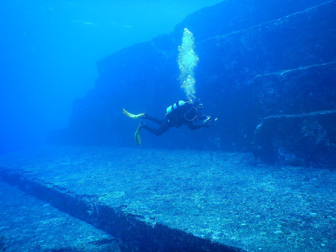
Terraces, right angles, "staircases" 25 meters deep. The geological consensus sees naturally fractured sandstone — an academic minority argues for a sunken city.
- Location
- Japan · Asia & Pacific
- Civilisation
- Natural? Jōmon?
- Period
- above water until ~−10,000
- Technique
- Terraces and angles under 25 m of water
- Studies
real support, not settled. A revisable snapshot of the state of research, never a judgement.
→ Show on the mapThe elements of the site
Where the site is
24.430° N, 123.010° E · satellite view
What science says
The local sandstone naturally fractures along orthogonal planes — similar formations exist on dry land.
No artifact, tool or trace of occupation has been recovered from the site.
The geological consensus (Schoch 1999, Nunn 2009, Ogata et al. 2020, AGJ conf. 2024) concludes it is an entirely natural formation: differential erosion of sandstone and mudstone along bedding planes and orthogonal tectonic joints, with no human intervention detected. Neither the Agency for Cultural Affairs nor Okinawa prefecture recognizes the site as heritage.
In 2019, Ogata et al. (University of the Ryukyus) conducted a topographic analysis using a digital elevation model and field investigation: the underwater formations are identical to the natural outcrops visible on the island's south coast, confirming a geological origin with no human intervention.
In 2020, Ogata T., Otsubo M. and Itoh H. (University of the Ryukyus / AIST) conducted a topographic analysis using a 10 m digital elevation model and field investigation at three geosites on the island: the underwater formations are identical to the natural outcrops visible on the south coast, confirming a geological origin with no human intervention (DOI: 10.4157/ejgeo.15.44).
What remains unexplained
Related to
Studies & sources
Show 7 more sourcesCollapse sources
Keep exploring
 Debated
Gunung Padang
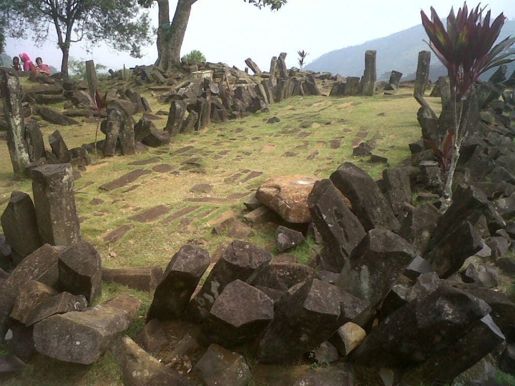
A "pyramid" beneath the hill? Layers dated as far back as −27,000 years… then the study was retracted in March 2024.
 Debated
Nan Madol
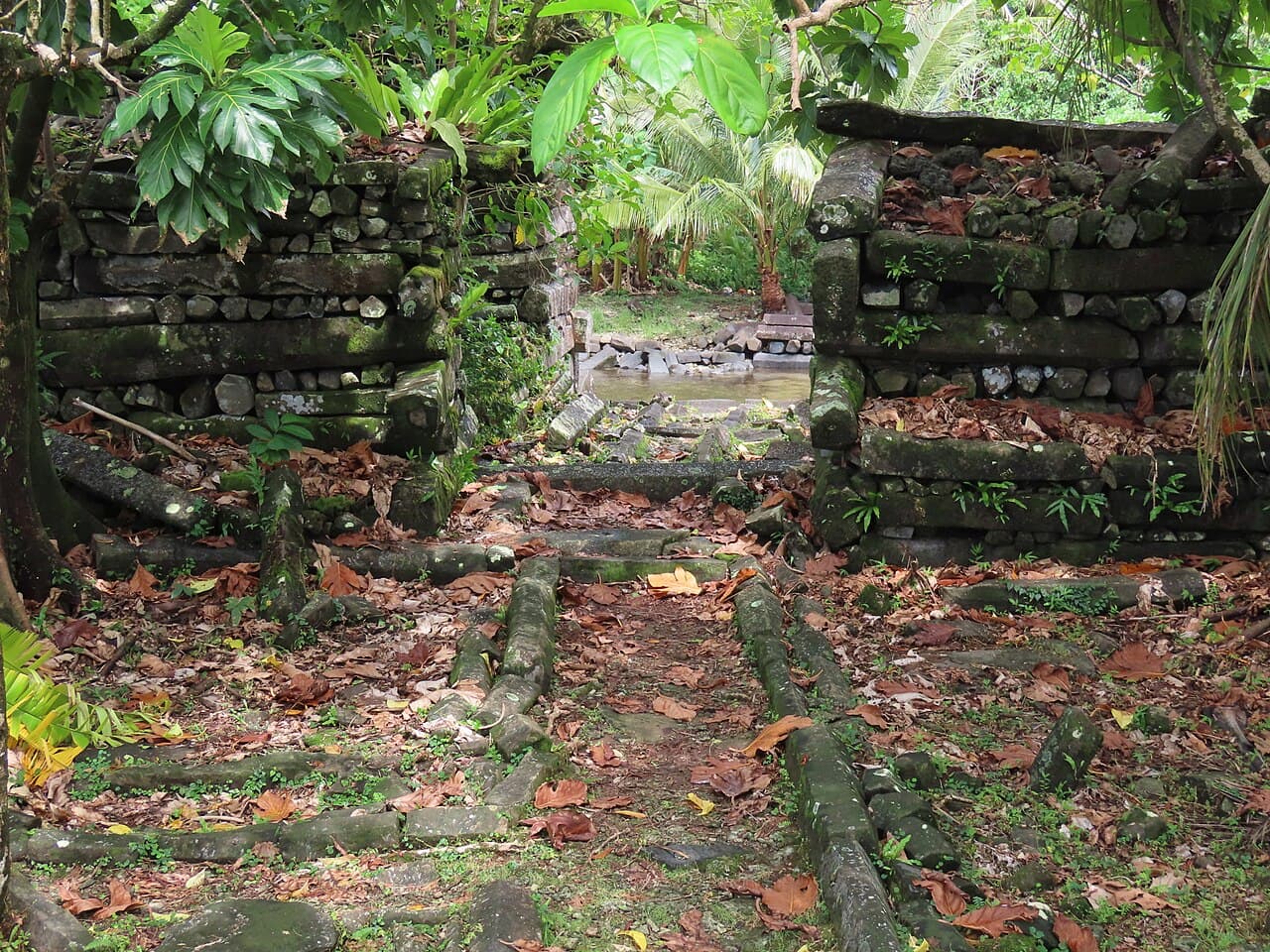
A basalt Venice set on a Pacific lagoon: 92 to 93 artificial islets, columns weighing 5 to 50 tonnes.
 No accepted answer
Barabar Caves
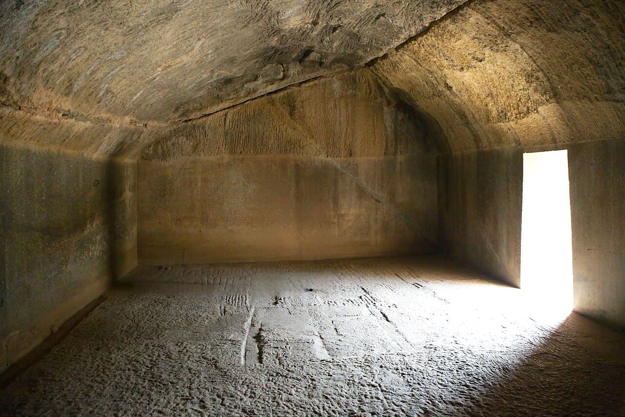
Chambers carved into granite, polished like a mirror, whose walls throw back a prolonged echo at low frequencies. What were they for?